Conservation
The NY Breeding Bird Atlas is the most comprehensive dataset on breeding birds in New York State. Atlas data are relied upon by conservation biologists, land managers, scientists, and amateur birdwatchers. Below are just a few of the invaluable ways Atlas data are used for conservation.
Important Bird Areas recognize the most valuable habitats in the state for supporting birds. Atlas data are used to identify areas home to rare and threatened species as well as areas supporting a high diversity of species characteristic of the habitat. IBAs are where Audubon New York focuses their conservation efforts, such as working with forest owners to manage their property with birds in mind. IBAs that fall on state land are officially protected under the state's Bird Conservation Areas Program.
Conservation status, listing a species as threatened or endangered, brings special regulatory protections to species. With this status comes additional funding to focus research and conservation measures on these species. Atlas data are invaluable for assessing changes in the population of New York State's birds. Documented changes between the first and second atlas drive many of the proposed changes to the state Endangered, Threatened, and Special Concern list currently under review.

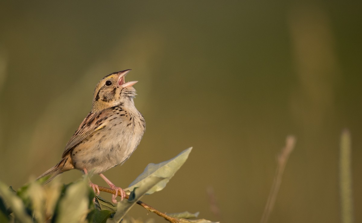
The fastest declining group of birds in NY are those that call grasslands home. Grassland bird conservation efforts rely on Atlas data to identify focal areas to prioritize conservation. The rare Henslow's Sparrow received a boost when these focal areas were enrolled in the NYS Department of Conservation's Landowner Incentive Program, a program where landowners were paid to leave quality grassland uncultivated and best management practices were implemented.
Atlas data are also used at the local level for land management. The NYS Office of Parks, Recreation & Historic Preservation uses Atlas data to develop trails, boat ramps, and campgrounds in areas that minimize disturbance to nesting Bald Eagles, Cerulean Warblers, herons, and other species. OPRHP also uses Atlas data when revising all Master Plans for State Parks and Historic Sites.
The hundreds of birders that cover all corners of the state during the Atlas projects turn up new locations for rare breeding species. One example is for Golden-winged Warblers in the Southern Tier. When Audubon New York reviewed the Atlas for possible locations to conduct habitat management work for this rapidly declining species, they were able to enlist several private landowners in their project in areas that weren't on their radar.
Scientific research is possible with repeated Atlases in the state that give snapshots of bird populations over time. One important finding is the documentation that climate change is having a real impact on bird ranges in NYS, pushing them ever northward. (Zuckerberg et al. 2009)
As part of project regulatory review, Atlas data have allowed DEC to site wind and solar projects without unduly impacting birds. These projects have reduced carbon emissions in a sustainable way throughout the state.
